
IMINT: Tools Every Analyst Should Know.

As a lifelong student of learning, I always strive to find the best tools, programs and apps to make my OSINT and IMINT searching go much faster, with more concise results. While these tips and tools are not the “end all, be all” these absolutely can help make your intelligence work go a bit smoother. (Plus they are FREE) Onward!
FIRMS
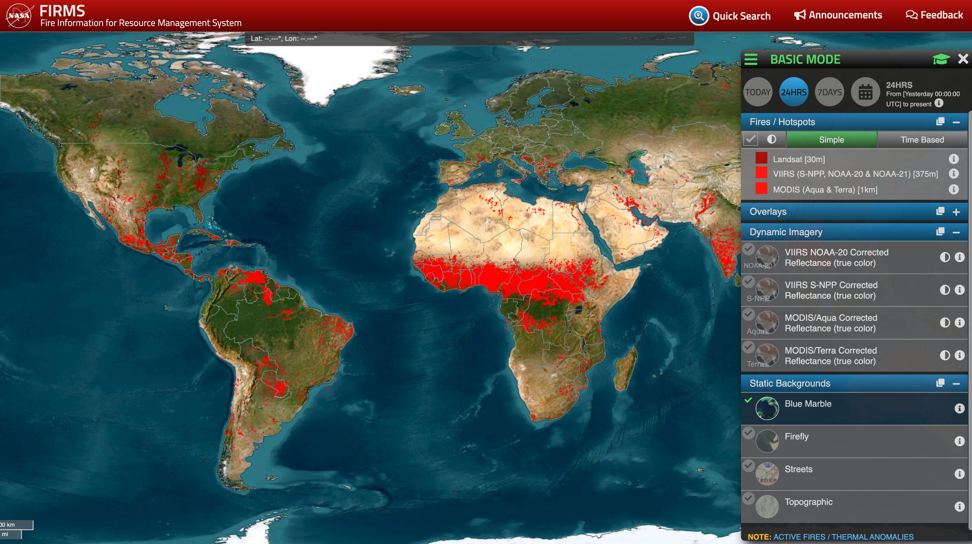
The first tool I find absolutely helpful is the FIRMS tool from NASA. The Fire Incident Management Resource System is an excellent tool from NASA that maps fires across the globe (with little red blocks) to show fire locations and areas on any selected date and time (helpful if you have assets in high fire zones). This tool is also really useful when mapping conflict zones, for example, when I mapped the initial October 7th attack in Israel, FIRMS detected fires from combat zones and explosions during the attack. This tool has also detected Russian TOR-1 rocket launch sites in Ukraine as well. This is one tool you need to save! (Note: Cement factories, and other infrastructure can also give off “false positive” heat signatures, always double check sources.)
Sentinel Hub
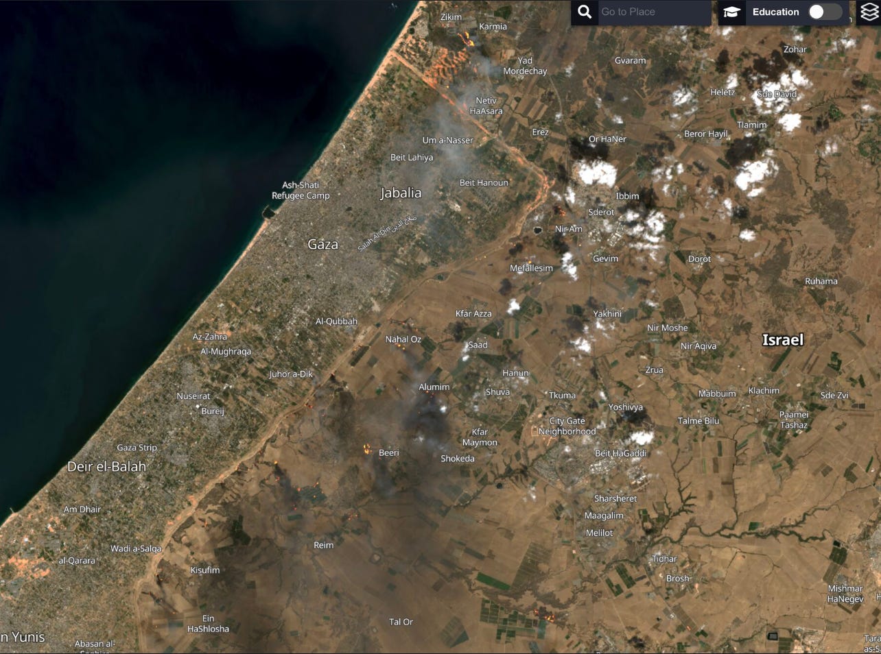
Another great tool Sentinel Hub is a great mapping tool (think FIRMS with extra layers and filters) that allow you to track fires, brush growth and removal along with other great filters. Using this tool in conjunction with FIRMS allows you so get a better map image view of the fires, while using FIRMS as the initial compass point. The tool is free and absolutely great for anyone tracking changes and fires in conflict zones or during summer seasons. One drawback is that only select dates will populate on the search dates, so you may not have the date needed to track the data you want, or cloud cover may make it impossible to see the location. (See the October 7th Sentinel Hub shot below with the fire filter).
Bellingcat OpenStreet Map
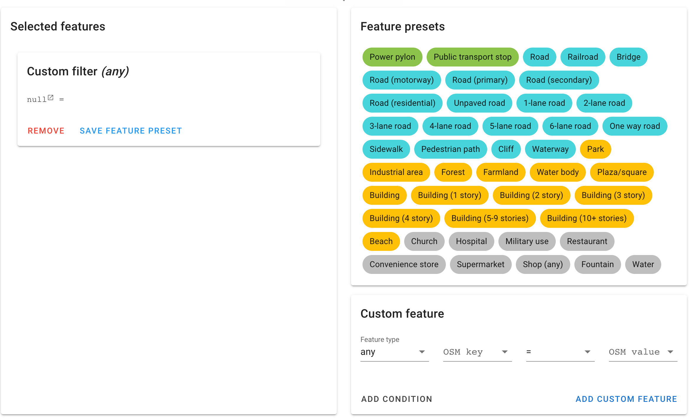
This is another great tool from Bellingcat. This tool allows you to enter in details from a photo you may be viewing (lets say New York skyline) where you can input distance from water, from buildings and even what the foliage is presenting (i.e fall, winter, summer, types of leaves etc) along with other identifiers. This will than allow the tool to dig into mapping services and other programs to give you the closest possible matches to the image you are looking at. The tool has a wide range of filters and other inputs and does require a few tries to get comfortable with it. Once you have it down, you can be a real pro with this tool!
Suncalc
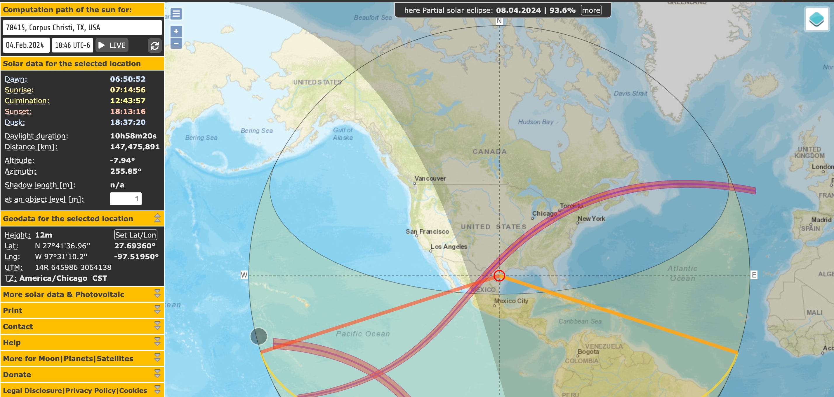
Many times, analysts studying videos or photos try to piece together the time of day a photo was taken. This can give credence to the validity of the photo, its time and other crucial details. Suncalc provides you all the critical details from the position of the sun, position of the shadows and anything altitudes, azimuths and more. The tool does have a bit of a learning curve but does provide that extra level of detail when conducting IMINT investigations with time requirements.
GeoSpy AI
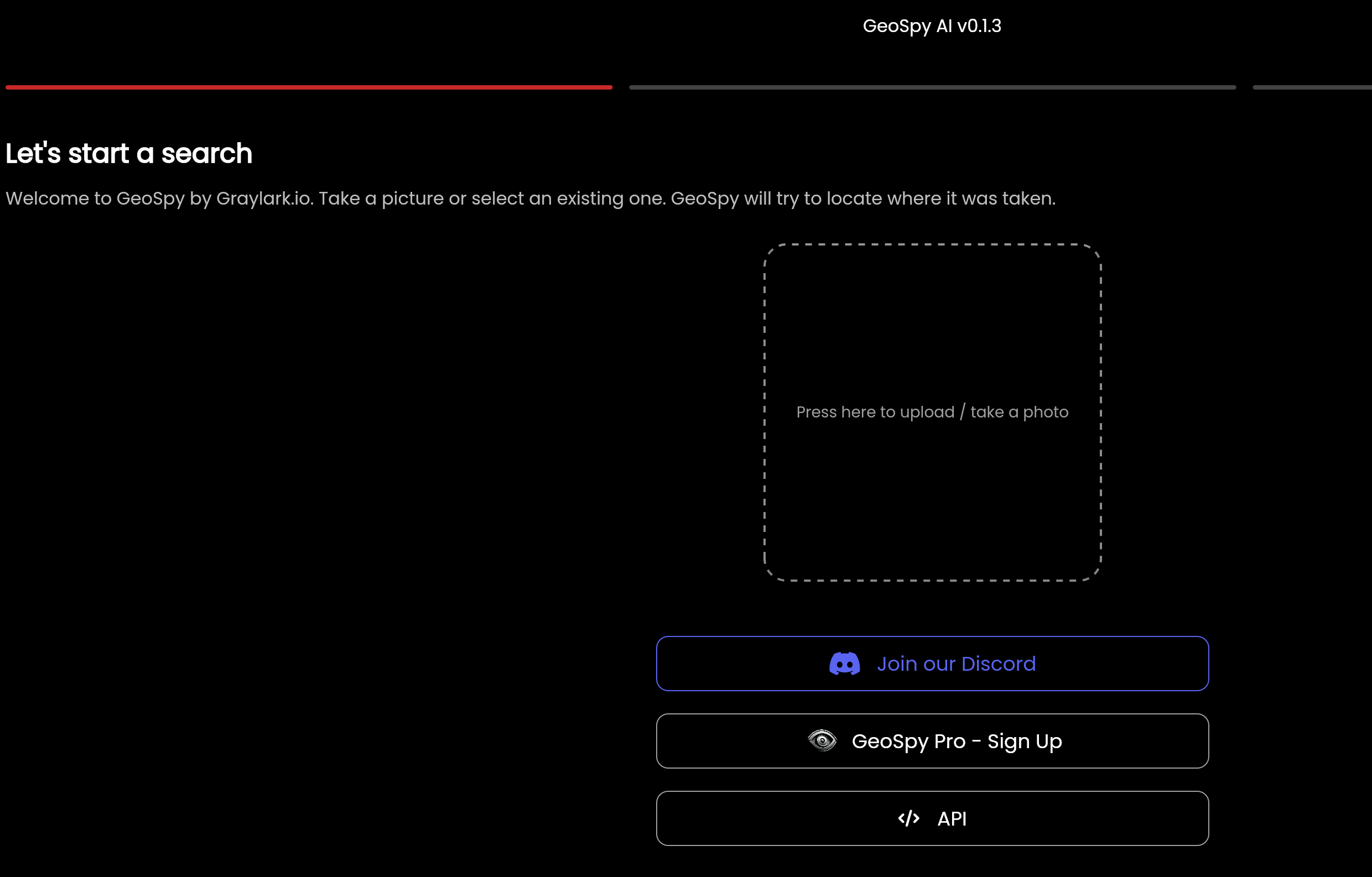
Another new tool to come onto the IMINT market is GeoSpy AI. This tool simply takes the photo you present it and will dig into the internet and all available images to cross reference and give you the most accurate answer possible. I was a bit skeptical of the tool initially but put in a few obscure villages from Romania and other eastern European countries and the system was able to identify accurately the areas, though a few of the photos were not of the exact location, but city. This is an exciting tool with API open use (for certain approved users).
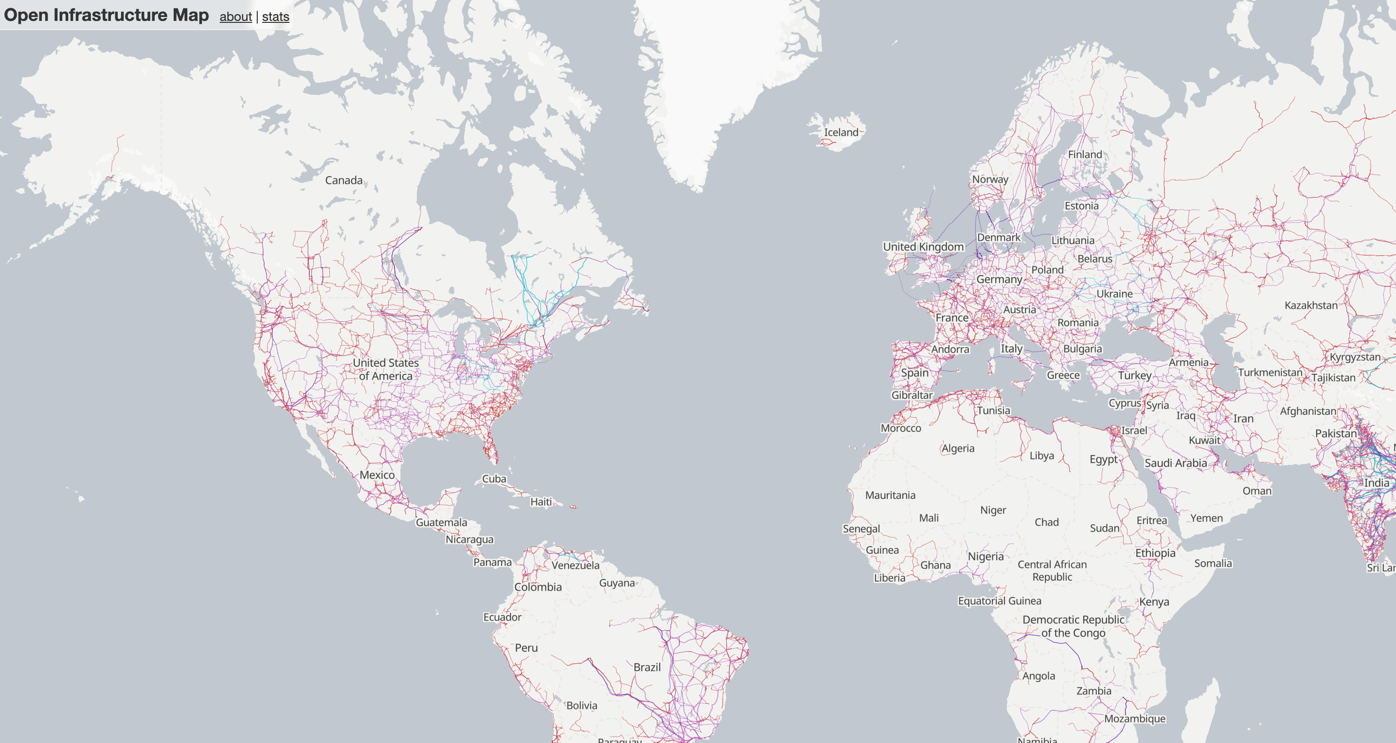
This tool is an excellent local infrastructure map showing power, telecoms, oil and gas, electric, solar generation, major power lines and coal infrastructure. This tool while rudimentary, provides a great overlay and simple analysis of infrastructure strong points and other data. This is globally mapped via OpenStreetMap.
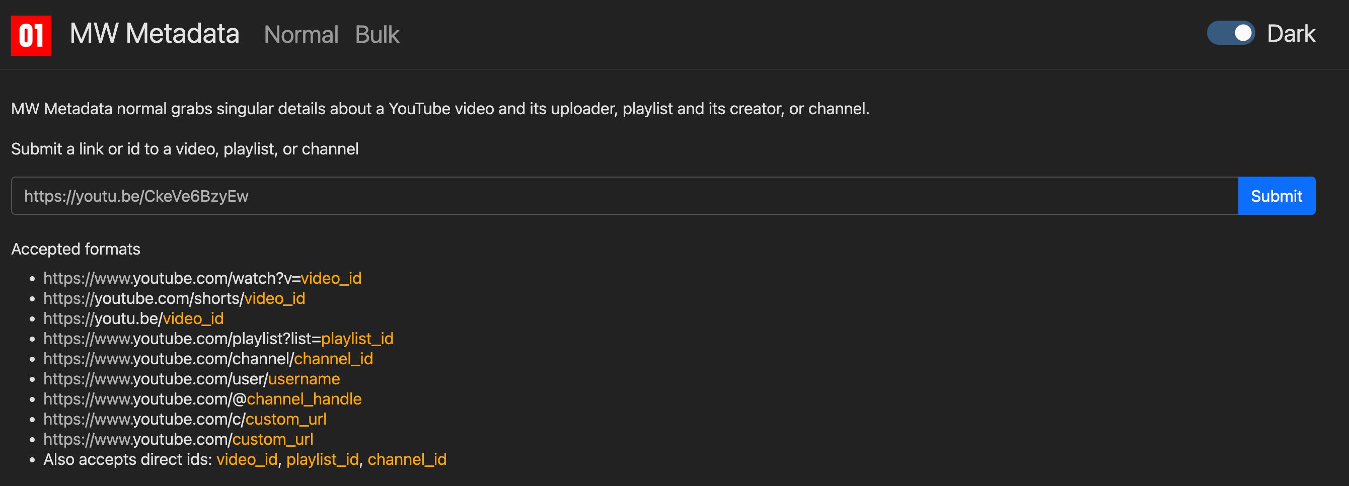
MW Metadata
Many times EXIF data within videos provide ample “breadcrumbs” such as date/time and other information, camera type, lens type, shooting speed and more. Some cameras even have GPS location on the video and location. This tool is a great starting point when trying to gather this data from videos online. Having used it a few times, I can say that the tool does work.
IMINT Case Study (sample)
While looking through Twitter on the latest updates in Sudan and the conflicts, I came across a posting of a video showing a Russian Mi-17 HIP helicopter (along with a Major General Pilot Mohamed Ahmed) that had been filmed by SAF forces at an airfield in Sudan, Jebel Aliya. Seeing this video, I wanted to dive deeper into where the video took place on the airfield, while also identifying at what time the video was taken. During the initial review of the video below, the camera man pans around numerous times while talking to what is believed to be a helicopter pilot(?) for SAF forces.
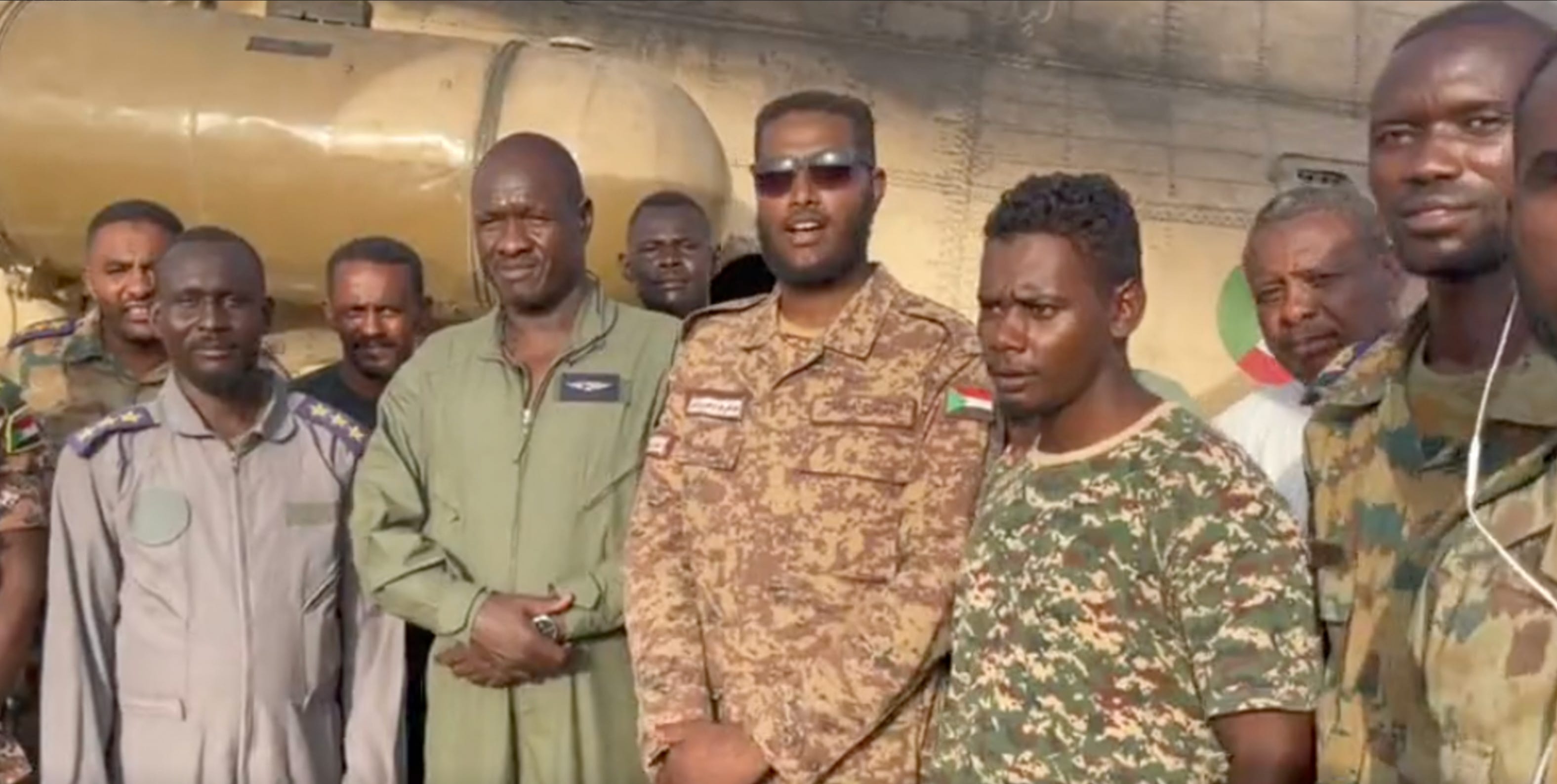
During review of the video, I began to look for details that would help narrow the search. I always have to remind myself, no detail is too small. The cameraman pans over to an individual with a white building in the background over his shoulder and what seems to be sandbags or some sort of low wall structure. The video pans around to a few other areas (a long runway) and than cuts out. Unfortunately, EXIF data came up with nothing definitive here.
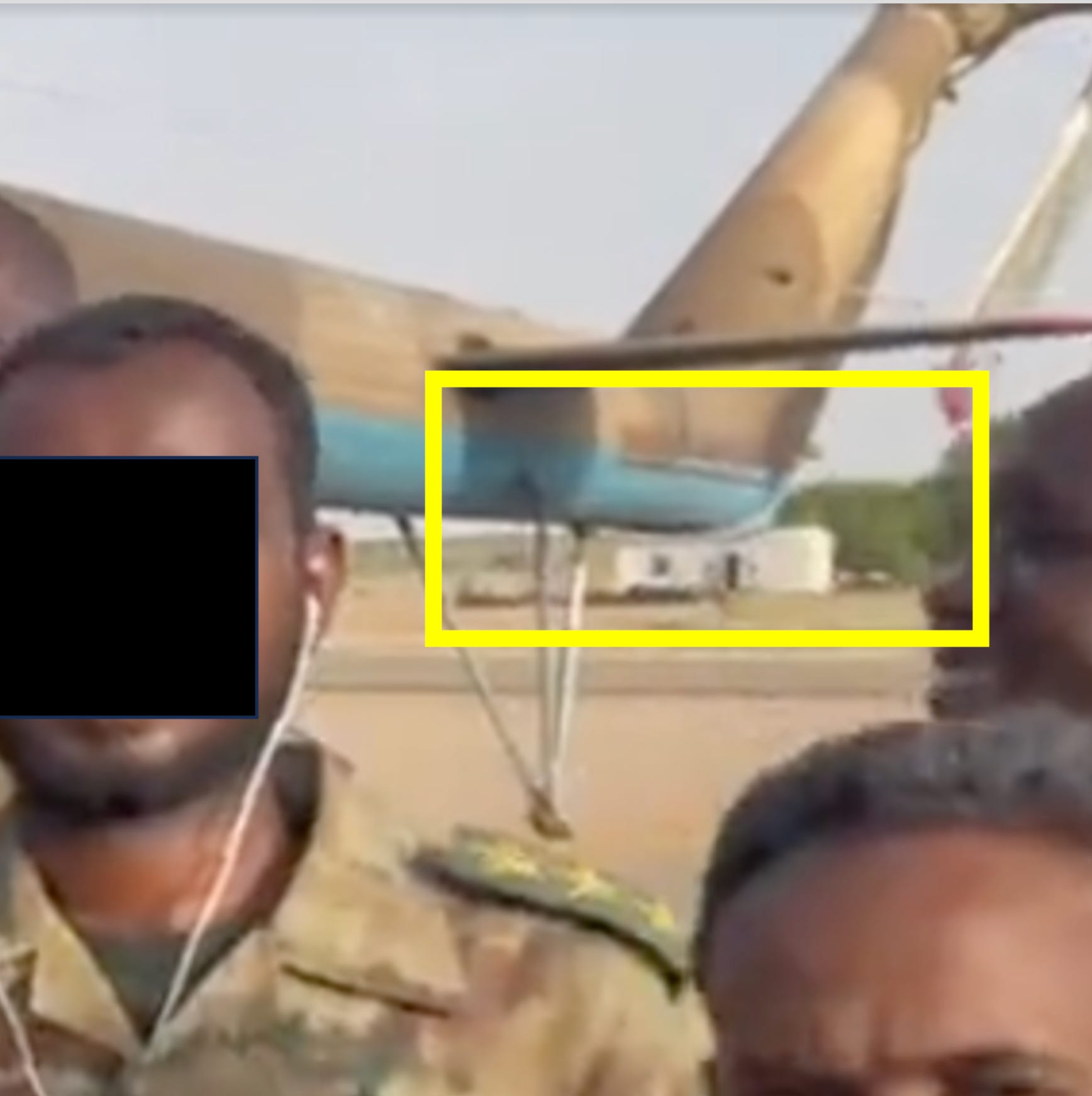
The search than immediately turned to finding a airfield and or helicopter landing port for the video itself. I booted up Google Earth Pro and began looking in the southern Khartoum area numerous abandoned airfields and tank depots were littered across the city and outlying areas. I had originally attempted to look up Jebel Aliya and Google Earth Pro struggled to find it until I realized I had to spell it differently (spelled Jebel Awliya with GEP). The airfield (Named Al-Nujoumi) looked functional and while using Sentinel Hub to confirm my findings, I was able to select the date at which this was (supposedly) filmed and the available data date. Talk about luck for this search!
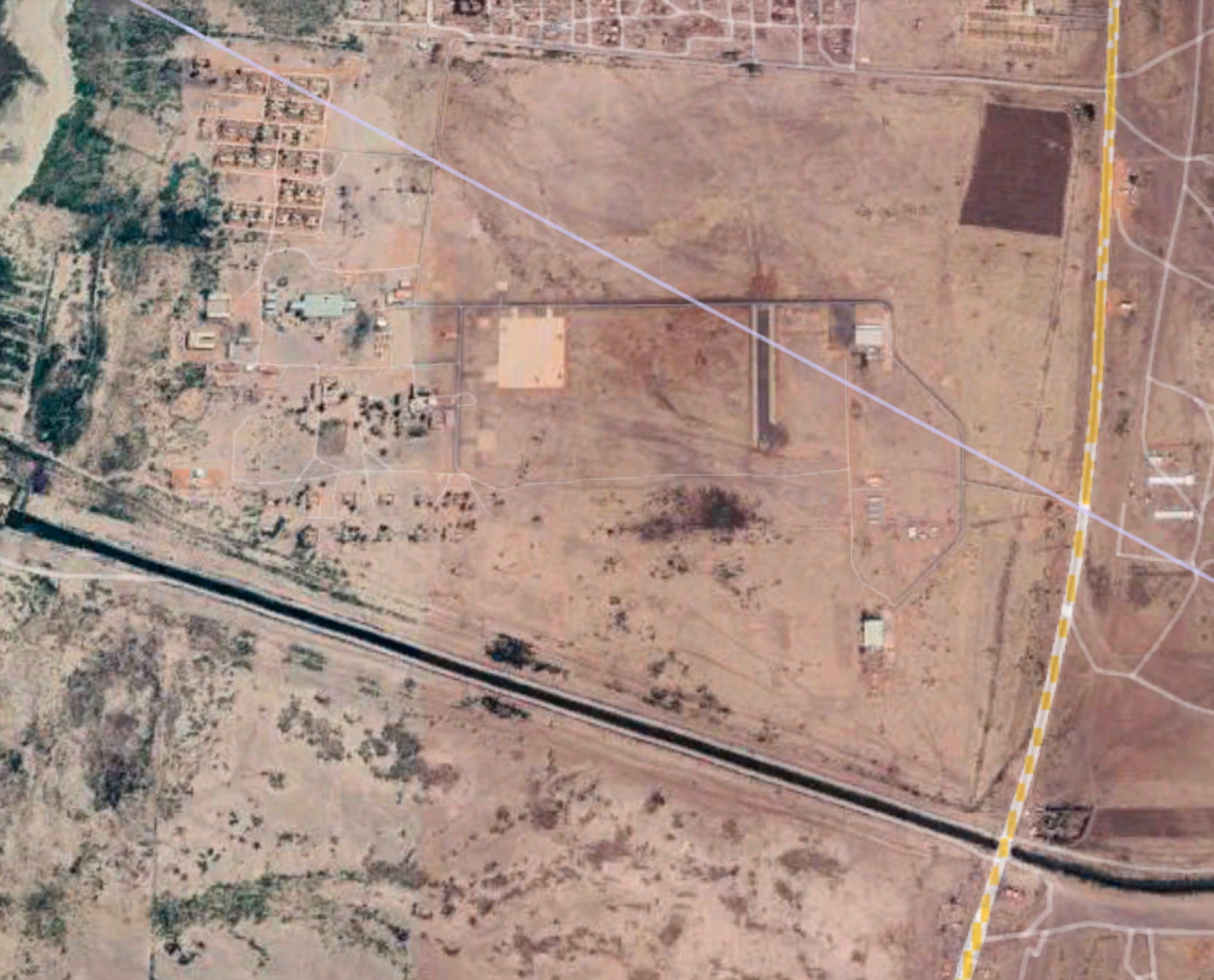
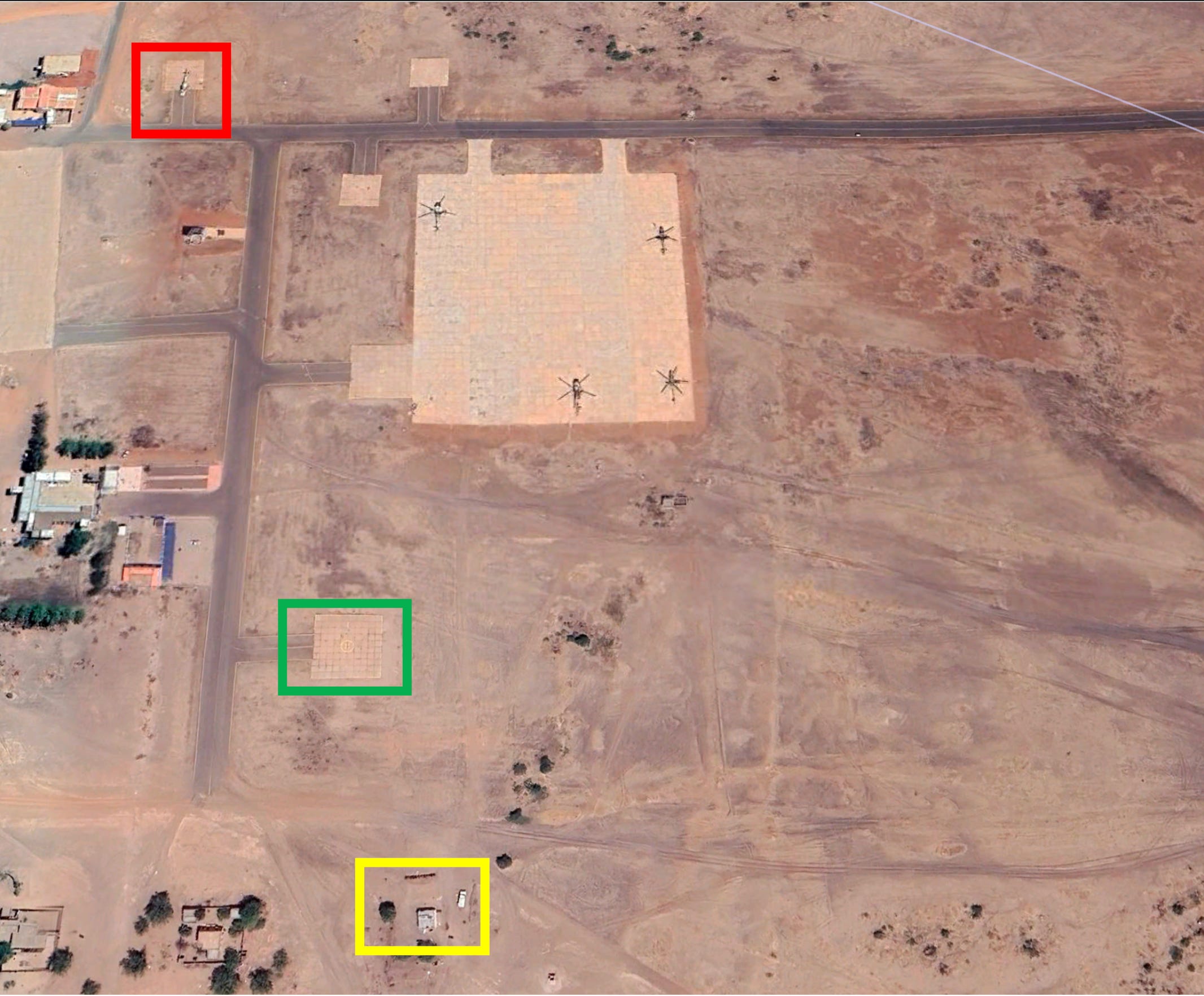
After pulling up the data on Sentinel Hub and Google Earth Pro, I was able to locate and cross reference the white building with what looks to be a former low brick wall around it (originally seen over the shoulder of a SAF affiliate), the pad where the video had been taken (pointing southeast) and finally, the Mi-8 HIP located to the northwest helipad. This was the exact location and using the Suncalc webapp, I was able to place the time around 5:30pm local time in Jebel Awliya.
(Red: Mi-17 HIP helicopter, Green: Location of the video and original helicopter location point, Yellow: The screen grab over the right shoulder of the SAF affiliate, showing the building)
While this IMINT geolocation was not as difficult in retrospect given the starting details, I realized how deep and in depth these investigations can go. Especially when relying on potentially rough camera footage, photos with unforgiving angles and low resolution. Practice makes perfect and I was thoroughly pleased in conducting this simple exercise to show how simple application and engagement can help locate critical details and more importantly, how you can utilize free programs and web applications to further investigations.
Disclaimer: The views and opinions expressed, are those of my own and do not necessarily reflect the official policy, opinion or position of my employer. Any content provided by myself or authors are of their opinion and are not intended to malign any religion, ethnic group, club, organization, company or individual.